
Trace a Henderson Street Directory
A Henderson street directory is strongest when it treats ownership, parcel geography, recorded transfers, and household clues as different records. Start with the address in the Clark County Assessor address search. It can browse an entire named street or return nearby addresses when a number is supplied. The selected parcel supplies the owner, situs address, mailing line, legal description, and APN. That chain is useful for property and local-history questions, but it does not prove that every person connected with an address lives there today.
- Enter the street name in the Assessor search. Add the number, direction, and type when known, then use the result list to select the right parcel.
- Read the current or prior-owner choice, and keep the owner mailing line separate from the parcel's situs address.
- Open Henderson My Neighborhood to check the parcel's ZIP, jurisdiction, HOA, ward, zoning, and nearby street context.
- Carry the APN or legal description to the Recorder's parcel search, then record the deed number, date, parties, and document type.
- For a registered-voter question, use the County's published file or walking-list channel by precinct, status, and format rather than expecting a complete household roster.
- For an older occupant clue, use a street guide or criss-cross directory through Henderson Libraries, then compare the address with period maps and newspapers.
That sequence moves from a modern address to an owner, map context, an APN-linked deed, an election product, and a historical address source. It also leaves room for a record to disagree with a mailing label. Note: A match in one layer is a lead to compare, not a substitute for the custodian's underlying record.
Henderson Street Search Fields
The Assessor form is a practical street-directory tool because it accepts a street name without a number. Street Name is the only required address field. A number narrows the browse, but the County says numbered searches can include addresses within three blocks. The City/Town control is optional and means the legal parcel city or town, not the postal city. Leave it blank if the legal jurisdiction is uncertain, then verify it from the parcel and map.
| Assessor field | Entry type | Required | Henderson address use |
|---|---|---|---|
| Street Number | Numeric text | No | Can return nearby addresses within three blocks |
| Street Direction | Select | No | Separates directional street variants |
| Street Name | Text | Yes | Browses a named street |
| Street Type | Select | No | Refines the street label |
| City/Town | Select | No | Legal parcel boundary, not mailing city |
| Phonetic name match | Checkbox | No | Broadens matching where available |
| Record preference | Control | No | Current parcel or present and prior owners |
The Clark County Assessor parcel-number search shows the second entry route once an APN is known.
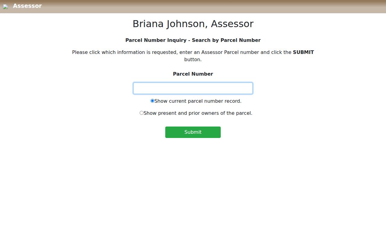
An APN is an 11-digit county parcel identifier, not a street number. Parcel search is valuable when a street address is duplicated, a lot has been divided, or a deed refers to a legal description.
Henderson Streets Through GIS
My Neighborhood accepts an address and then layers local geography over it. Its controls include ZIP Code, Jurisdiction, HOA, Council Ward, planned land use, zoning, school attendance zones, business licenses, parks, and service layers. Clark County GIS Open Web adds Assessor, parcel, imagery, zoning, and planning layers. Use the map to place a parcel on the street and identify geometry. Confirm an owner in the Assessor record rather than treating a map label as a title result.
These layers matter in Henderson because postal, HOA, ZIP, and municipal-boundary lines overlap imperfectly. The City's administrative-boundary service includes annexations and ZIP polygons, while the County's ZIP layer can be queried and exported. A parcel click should lead back to its APN. A map cannot settle a legal boundary: recorded deeds, plats, and surveys control the legal detail.
Henderson Address Record Layers
Not every public source starts with a street name. The street directory bridge is the parcel: the Assessor turns an address into an APN and legal description, and the Recorder uses those identifiers to reach instruments. GIS explains where the parcel lies. City permit data can add a dated property event. Election products and older directories are narrower sources that must be read for what they actually cover.
| Address-keyed source | What it can show | Henderson keeper | Access path |
|---|---|---|---|
| Assessor address and owner record | APN, current and prior owner, situs, mailing, value and exemption clues | Clark County Assessor | Free portal, phone, email, or counter |
| GIS parcel viewer | Parcel shape, adjacent parcels, ZIP, boundary, HOA, ward, zoning, and service layers | City and County GIS | Public interactive maps |
| Recorder deed index | Indexed parties, type, date, instrument, legal description, and chain clues | Clark County Recorder | Online index from 1988, microfilm from 1909 |
| Recording Notification Service | New recordings that match a monitored name or APN | Clark County Recorder | Free alert, not the official record |
| Development Services Center | Permit, plan, inspection, license, status, and date clues | City of Henderson | Public search or records request |
| Voter files and walking lists | Lawfully supplied registered-voter and precinct data | Clark County Elections | Published file or custom request |
| Street guides and newspapers | Former address sequence, names, civic events, and obituary leads | Henderson Libraries and UNLV | Archive, digital collection, or microfilm |
A listed owner is a property fact. A deed party is an instrument fact. A registered-voter product is an election-record fact. Keep those distinctions in a street-by-street file instead of combining them into an unsupported claim about everyone at an address.
Henderson Street Deed Chain
AcclaimWeb does not take a street address as its core parcel identifier. Use the Assessor result to translate an address to its APN or legal description, then search Parcel # with Starts With, Contains, or Exact matching. Date range and document type can reduce a large result set. On a useful result, save the instrument number, recording date, document type, indexed grantor and grantee, and the APN or legal-description reference shown. A later acquisition usually names the current owner as grantee, but a recorded deed is not proof of present occupancy.
The Clark County Recorder parcel search is the documented route from APN to a recorded-document index.
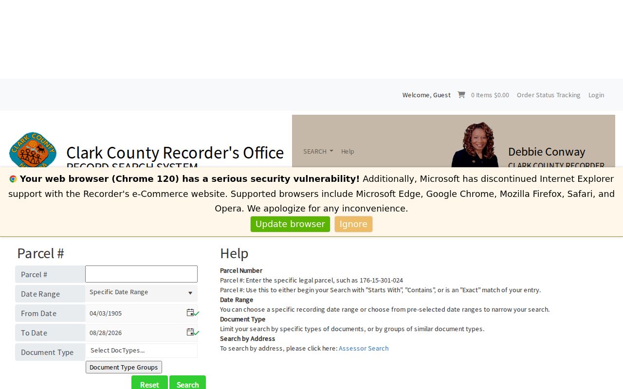
Official Records are indexed online from 1988. For an older transfer, use Recorder microfilm or office research dating to 1909. Public index images are not directly viewable, so an account and payment, counter service, or a mail order is needed for copies. Note: Not every person named within an instrument is indexed, so monitor APNs and name variants.
Henderson Permits by Address
Henderson Development Services Center, now routed through Tyler Civic Access, provides public searches for permits, plans, inspections, and licenses without a login. All keyword search checks all fields, while Exact Phrase narrows the query. A public result may contain an address, permit or inspection number, type, status, dates, and applicant or contractor fields. When the result is thin, the City public-records process is the route for the underlying file. Code enforcement and abandoned-property material can also date a change, although sensitive data may be withheld.
The Henderson Development Services Center search provides the public permit, plan, inspection, and license entry point.
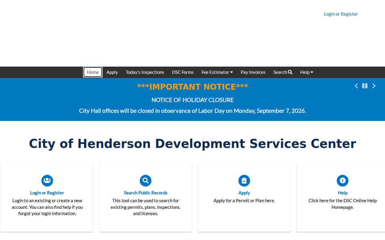
Permit dates can establish when work was applied for or inspected. They do not establish who occupied the parcel, and a public display may omit fields that exist in the City file.
Henderson Voter Products by Street
Clark County's election channel is not an ordinary street-address lookup. The County publishes weekly voter files by county, district, party, precinct, and status, and provides walking lists by precinct. Standard data files are priced per name with a download or media charge; custom files add programming cost. Ask for the precise precinct, election cycle, active or all status, and requested format. The County notes that inactive addresses are not current in the registration system.
The Clark County Registered Voter Services page also distinguishes a voter's logged-in self-service information from public data products. Those products exclude or redact protected information. A nonappearance does not show that a person is absent from a street, and a match cannot reveal ballot choices or every household member.
Henderson Street History Sources
For a historic street directory, use the reverse or criss-cross portion of a directory rather than only its alphabetical pages. A criss-cross directory organizes entries by address, while an alphabetical directory starts with a name. Henderson's confirmed leads include a 1952 telephone directory, a 1954-1955 regional directory, a 1959 Polk's Henderson and Boulder City title including Pittman, and 1961 and 1965 Luskey's Blue Book examples. Exact shelf runs still need confirmation with the holding institution.
Henderson Libraries' local-history archive provides newspapers, directories, maps, photographs, scrapbooks, and other materials. The Henderson Home News has 1949-1950 supplements and standalone issues from 1951, while UNLV microfilm begins January 13, 1950. The 1955 Pioneer Title cadastral map has a street index that helps when an older printed address does not fit the modern map.
- Parcel
- An APN-linked unit of land used by the County for assessment and map work.
- Situs address
- The physical location assigned to the parcel, distinct from a tax mailing address.
- Plat
- A recorded subdivision map that connects lots and blocks to legal parcel geography.
- Criss-cross directory
- An address-organized directory used to look for historic occupants or businesses along a street.
Henderson Street Mailing Limits
A Henderson mailing city is not a boundary determination. The Assessor says City/Town is the legal parcel field, and a tax mailing address may be in another city or state. Henderson GIS layers let a searcher compare jurisdiction, ZIP, HOA, and annexation context, while the deed and plat control legal land detail. This difference is common around the city edge and in newer planned areas. Treat postal text as a delivery clue, then verify the legal City/Town field and mapped jurisdiction before describing a parcel as within Henderson.
Henderson grew from the Basic Magnesium townsite and later added townsite, Pittman, Carver Park, Victory Village, Manganese Park, and newer planned areas to a much larger footprint. The 1955 map and the City Street Address Map Atlas are better bridges for older labels than guessing at a renumbering date. Research did not locate an official year-by-year Henderson street-renumbering list.
Henderson Recorder Desk Tip
The Recorder's Henderson City Hall branch can research official records from 1909 forward. When others are waiting, the branch limits research sessions to 15 minutes and standard customer research to 10 documents per customer during each AM or PM period. Ask about the main office when maps, deliveries, or a longer research need is involved. The Recorder reports that staff cannot prepare documents, interpret legal effect, or determine parties' rights.
Copies are $1 per page and certification is $4 per document, with additional online processing charges for online purchases. Mail orders need the document's book or instrument number and page count, and use a cashier's check or money order. Note: A targeted APN, legal description, and owner chain make a short counter session more productive.
Henderson Street Directory Limits
The public record trail has clear limits. Assessor records identify owners and a mailing line, not every occupant. Deeds identify parties to a recorded instrument, not all people using a parcel. Voter products cover only registered voters who are lawfully included, and historical directories reflect what the publisher printed at the time. Utility customer lists and ordinary DMV address information are restricted. Code records may also redact complainant identities or sensitive public-safety material.
Lawful use. Use Henderson address records for lawful personal research, family history, estate questions, property curiosity, or civic transparency. Do not use public details to stalk, harass, intimidate, or harm another person.
Nevada's Confidential Address Program, sealed cases, protected voter data, and custodian-specific redactions can create intentional gaps. Nevada Public Records Act requests under NRS Chapter 239 remain a fallback for a City record not posted online, but the custodian may cite an exemption or redact protected information.